Loading...

Related products
-
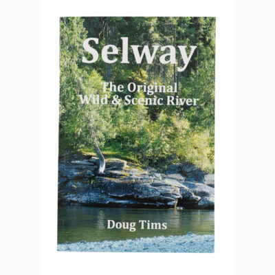
Selway – The Original Wild & Scenic River
$19.99 This product has multiple variants. The options may be chosen on the product page -
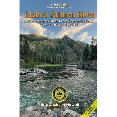
Idaho’s Salmon River – 3rd Edition by Eric Newell
$33.95 This product has multiple variants. The options may be chosen on the product page -

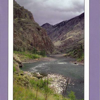
BLM River Maps
Price range: $10.00 through $28.00 This product has multiple variants. The options may be chosen on the product page -
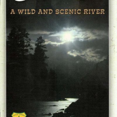
Main Salmon River
$24.00 This product has multiple variants. The options may be chosen on the product page -
Snake River Boaters Guide
$15.00 This product has multiple variants. The options may be chosen on the product page -
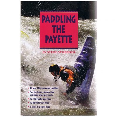
Paddling the Payette by Steve Stuebner
$19.95 This product has multiple variants. The options may be chosen on the product page -
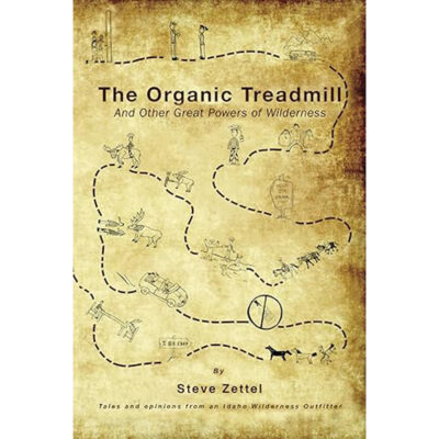
The Organic Treadmill Book by Steve Zettel
$25.00 This product has multiple variants. The options may be chosen on the product page -
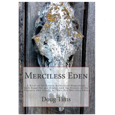
Merciless Eden by Doug Tims
$19.95 This product has multiple variants. The options may be chosen on the product page
Reviews
There are no reviews yet.