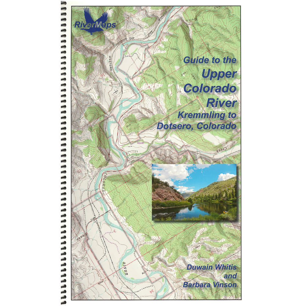
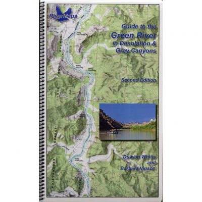
Description
- Paralleled by the Pacific Union Railroad, the portion of the Upper Colorado River featured in this guide may not be wild, but it’s certainly scenic.
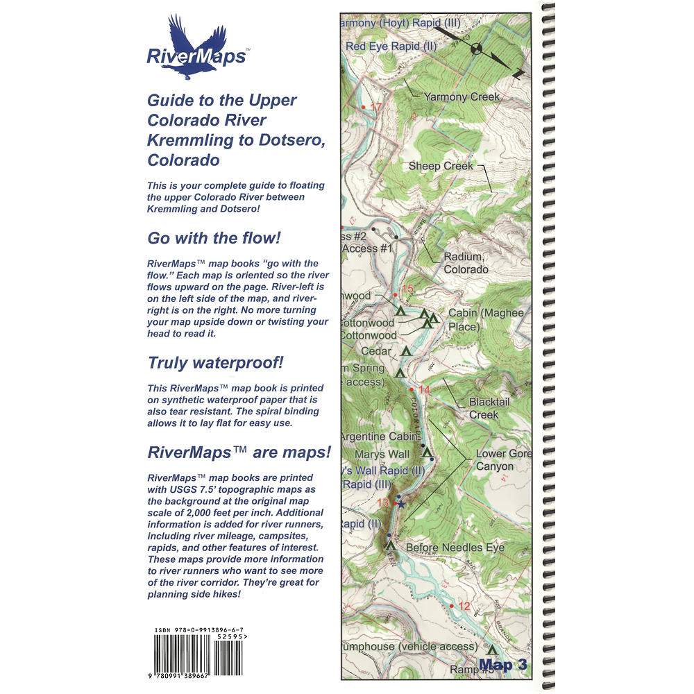
- Excellent mile by mile information on rapids, campgrounds, geological features, historical sites and reference points, as well as permit requirements and regulations.
- Covers the Upper Colorado River from Kremmling to Dotsero, Colorado.
- The topo maps are the same scale as the original USGS maps. The contour lines and accurate shape of the river really help you keep track of where you are.
- Spiral bound format with full color topo maps on the right side and complete text descriptions on the facing page.
- Whether you’re boating during a monsoon or charging heavy rapids, the high-quality waterproof paper won’t tear and the ink won’t bleed.
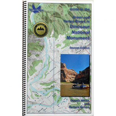
Authors: Duwain Whitis & Barbara Vinson
Copyright: 2017
Size: 9″ x 14″ waterproof paper
Pages: 39
Reviews
There are no reviews yet.