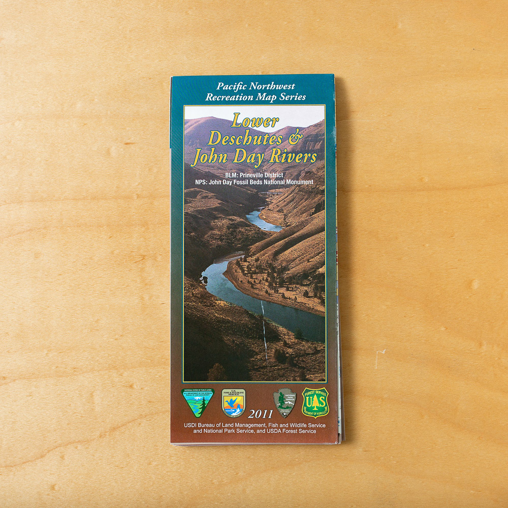
Lower Deschutes & John Day River Map
$28.00
Lower Deschutes & John Day River Map
$28.00
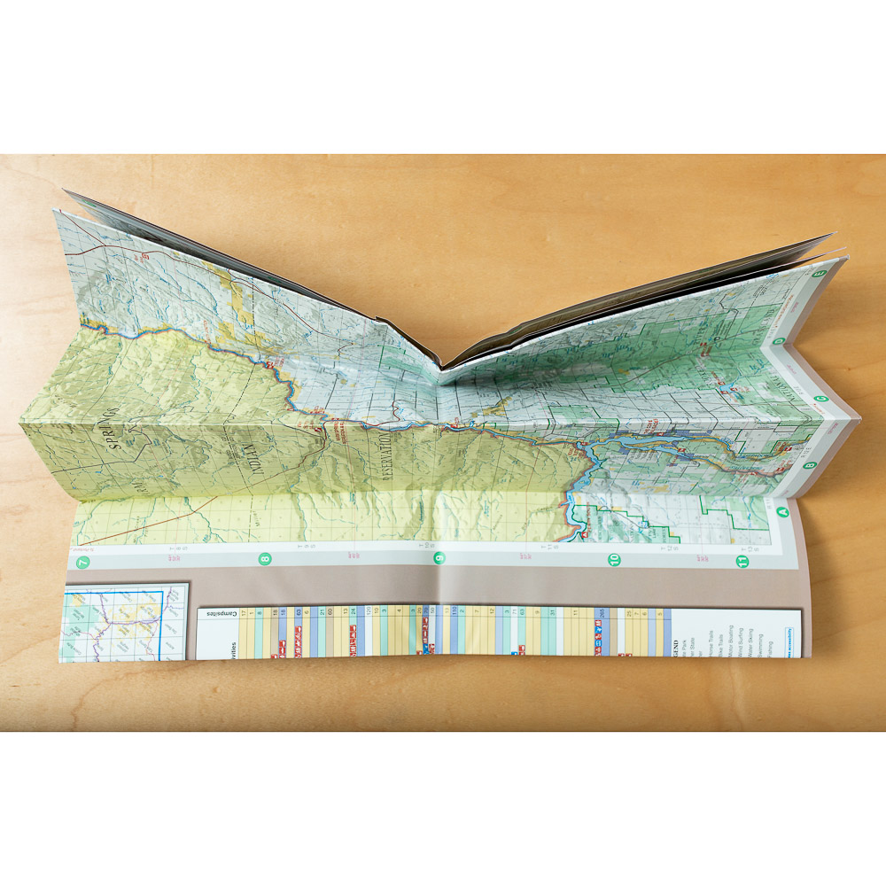
Waterproof map of the Lower Deschutes & John Day Rivers!
In stock
SKU: 1932-D
Category: Books & Maps
Loading...
Description
- Large 54 x 32 inch format presents the lower runs of each river, one river to a side
- Maps and charts present BLM, national forest, state, city and county parks, campsites, boat ramps, services, trails, and swimming and fishing holes
- Four-color presentation shows highways, communities, public boundaries and ground relief
- Provides brief narrative overviews of hunting, boating, hiking, camping, sightseeing and related outdoor activities
Made in USA.
Be the first to review “Lower Deschutes & John Day River Map” Cancel reply
Related products
-
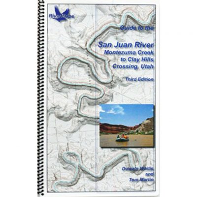
Guide to the San Juan River
$29.95 -
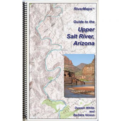
Guide to the Upper Salt River
$27.95 -
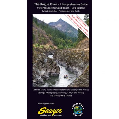
The Rogue River, A Comprehensive Guide
$33.00 -
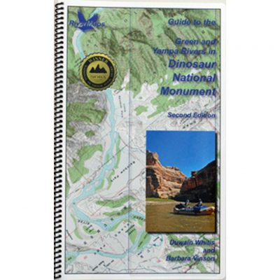
Maps, Green River and Yampa River in Dinosaur Natl Mon
$31.95 -
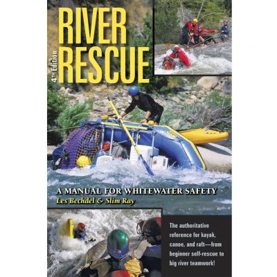
River Rescue 4th Edition by Les Bechdel & Slim Ray
$24.95 -

Paddling the Payette by Steve Stuebner
$15.95 -
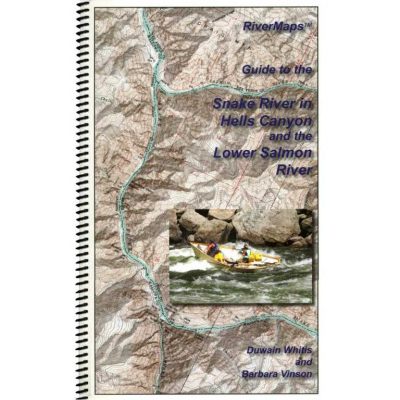
Guide to the Snake River and Lower Salmon
$35.95 -
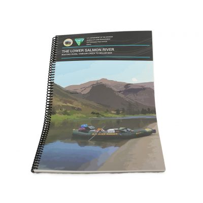
Lower Salmon River Map- Vinegar Creek to Heller Bar
$14.00






Reviews
There are no reviews yet.