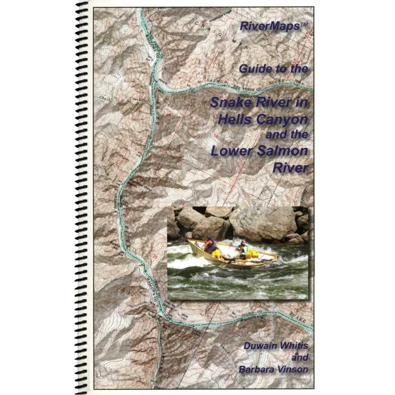
Your must-have guide for your trip down spectacular Hell’s Canyon and Idaho’s Lower Salmon. This RiverMap’s guide book is durable and waterproof with USGS topo maps and excellent descriptions of river features.
Covers the Snake River through Hell’s Canyon to Heller Bar and the Lower Salmon River from Hammer Creek to its confluence with the Snake.
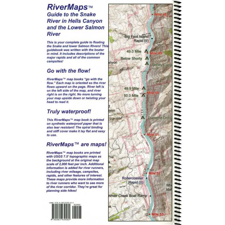
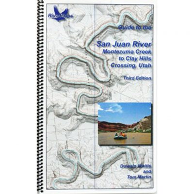
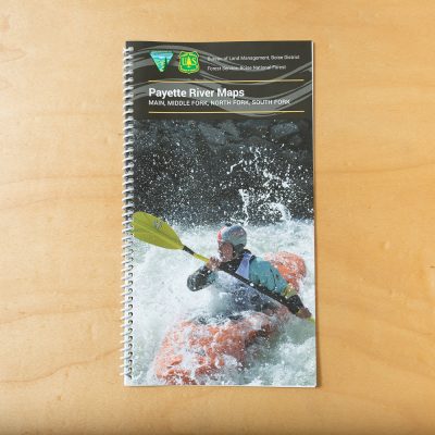
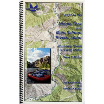
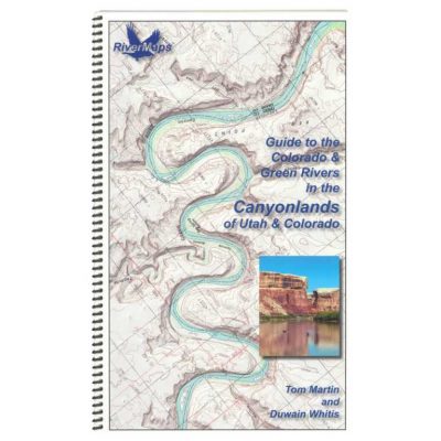
Spiral-bound format with full-color topographical maps on the right side and complete text descriptions on the facing page.
The advanced mapping software used in this guidebook allows relief shading of the topo maps, giving you a much better perspective of the terrain.
Excellent mile-by-mile information on rapids, campgrounds, geological features, historical sites and reference points.
The 26 topo maps are the same scale as the original USGS maps. The contour lines and accurate river shape really help you keep track of where you are.
The high-quality waterproof paper really stands up to the soaking it’s going to get!
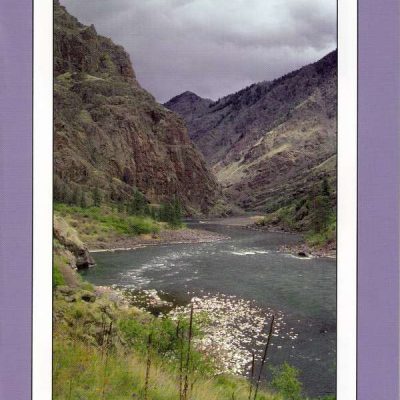
The book lists numerous side hikes and interesting features away from the river.
All photos in this edition are in full color.
Also includes info pages on frequently asked questions about boating the river, geology, archaeology, resource protection and plants found in the area.
Authors: Duwain Whitis and Barbara Vinson
Copyright: 2014 by RiverMaps, LLC
Size: 9″W x 14″H waterproof paper
Pages: 68
Reviews
There are no reviews yet.
Be the first to review “Guide to the Snake River and Lower Salmon” Cancel reply

Reviews
There are no reviews yet.